
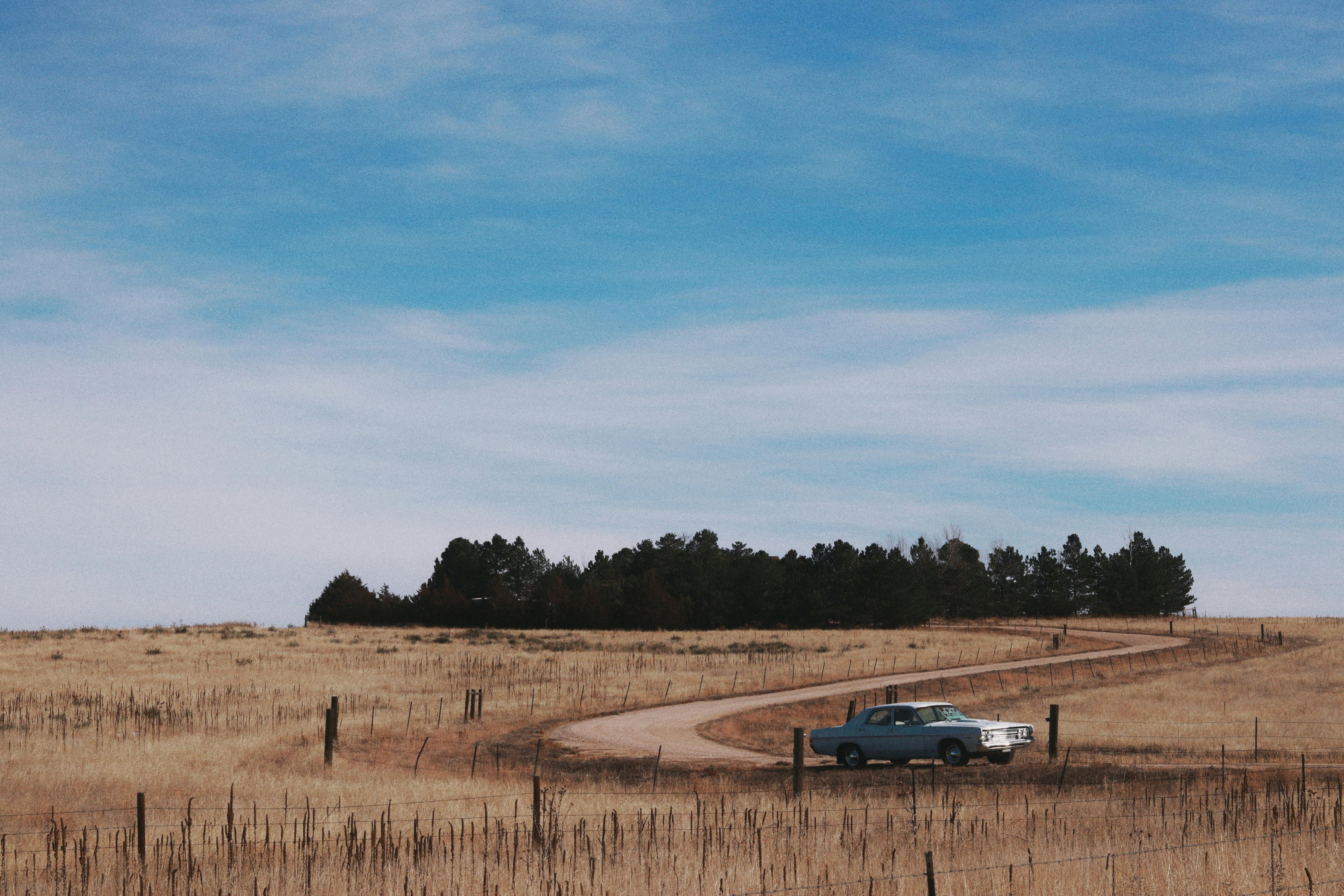
Some roads carry a distinct badge on their signs and appear on maps as scenic routes. That status is an administrative decision with criteria behind it, not a description someone added because the view is good.
Designation begins locally
Almost every scenic route starts as a proposal from the communities along it. Local authorities, tourism boards and landowners assemble a case for why a particular stretch deserves recognition.
The proposal has to define the corridor precisely, including where it begins and ends. A byway is a legal object with boundaries, and vague edges make it impossible to administer.
That local origin explains the uneven distribution of designated routes. Regions with organised civic groups accumulate them, while equally beautiful roads elsewhere never get nominated at all.
The criteria are broader than scenery
Assessment usually considers several qualities rather than views alone. Historic significance, cultural association, archaeological interest, recreational access and natural features are typically weighed alongside the visual character of the drive.
A road can qualify on one strong quality or on several moderate ones. This is why some designated routes cross fairly ordinary terrain but pass a dense concentration of historic sites.
Assessors also look for intrusion. Billboards, industrial frontage and heavy commercial development count against a corridor, because the label is meant to describe the whole experience of driving it.
A management plan is part of the deal
Designation normally requires a written plan for how the corridor will be looked after. It covers signage standards, viewpoint maintenance, interpretation panels and controls on development along the roadside.
That plan is the real substance of the status. Without it the badge would be a marketing sticker, and the qualities that earned it would erode within a decade.
Communities accept planning restrictions in exchange for recognition. The trade is deliberate, and it is why some landowners along candidate routes oppose designation.
The label changes how the road is engineered
Once a route is designated, roadworks along it are handled differently. Guardrails, barriers, resurfacing and drainage are still built to safety standards, but the visual treatment of them is constrained.
Pull-offs and viewpoints get funded where a normal road would have none. A byway budget pays for parking bays at points where drivers would otherwise stop dangerously on the shoulder.
Speed limits are often set lower than engineering alone would suggest. The road is expected to be driven slowly, and the geometry is maintained to suit that use.
Status can be lost
Designation is reviewed rather than permanent. If the corridor degrades, if the management plan lapses or if development changes the character of the drive, the label can be withdrawn.
Withdrawal is rare because it is embarrassing for everyone involved. More often a corridor quietly stops being promoted while the formal status lingers on paper.
For a driver, the practical signal is maintenance rather than the sign. A byway with tended viewpoints and current interpretation is one where the plan is still being funded.